This is really cool!
 Apt, on 13 December 2016 - 06:41 PM, said:
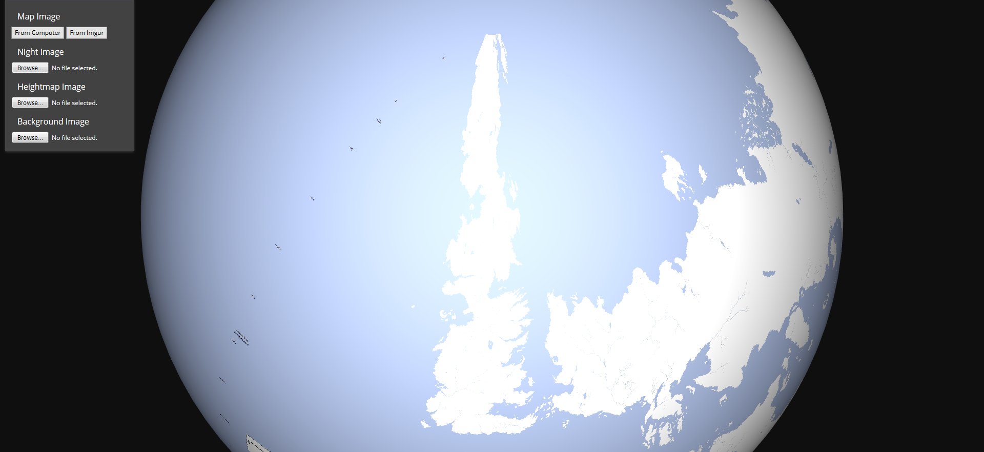
I'm curious about the globe though. How does the proportions actually fit? Is there actually that big of a sea between Lether and Assail or is it just a case of that's the way it looks on a globe unless you try and stretch and break everything?
How would ice caps look compared to everything else if you tried to apply them to the Malazan globe?
Werthead, on 13 December 2016 - 07:41 PM, said:
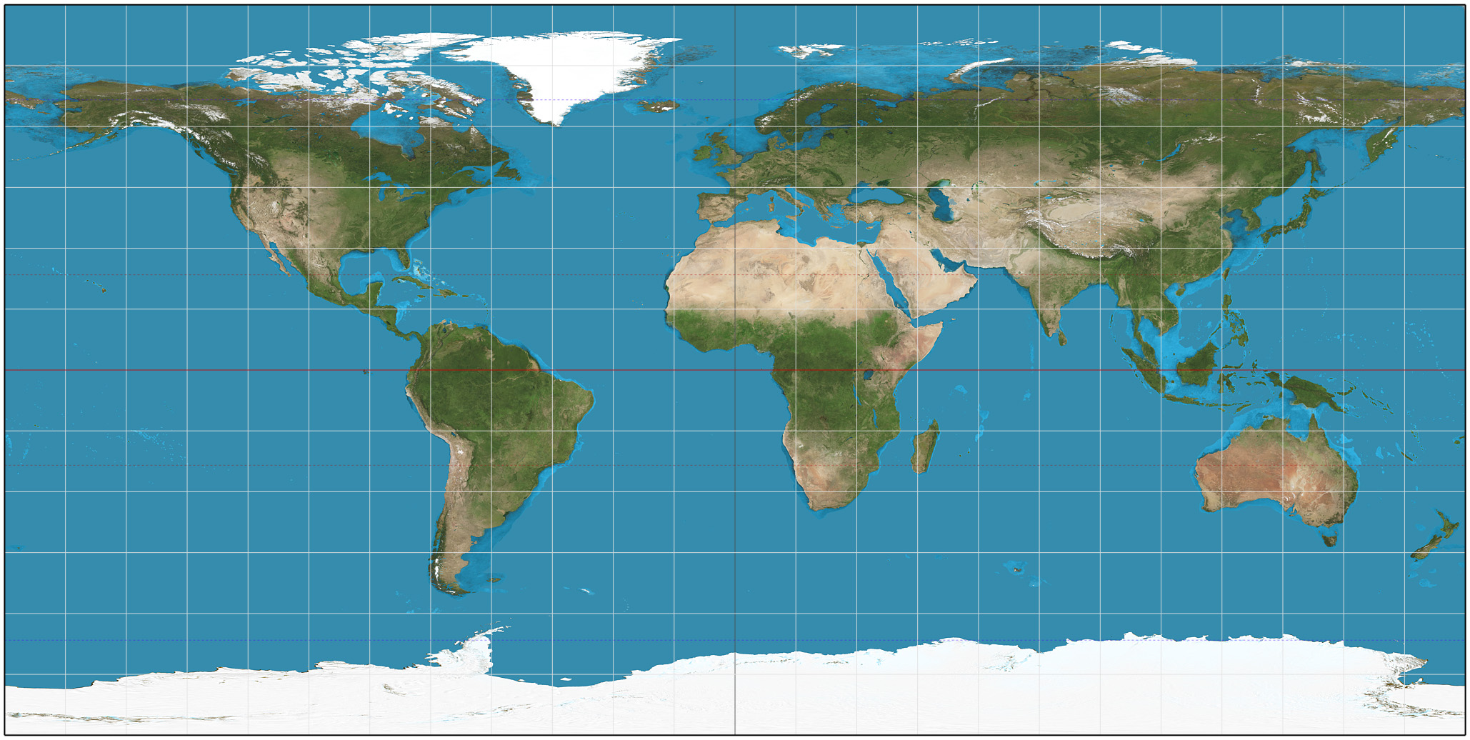
The original map proportions were from 2004, someone worked out what the dimensions would be for a flat map if the world was the same size as Earth. Then over the course of 12 years (!) various people have fiddled around with the continents on that flat image, until here we are.
So yes, the Domain Ocean is pretty huge, the closest to Erikson's version of the Pacific.
I think Apt meant more how does the software deal with the proportions of converting a flat map to globe.
Looks like the program is doing a reverse plate carrée/equirectangular transformation. It assumes the image you upload has equally spaced latitude and longitude, and that the vertical and horizontal center lines are the equator and central meridian of the map. Then it goes through the uploaded image pixel by pixel and draws the image onto the globe using a relationship like:
For pixel {X,Y}, transpose this to GlobeLocation{Longitude = X/cos(V)+H, Latitude = Y+V}
X and Y being pixel coordinates, V and H being the vertical and horizontal distances from 0,0 to the the equator and central meridian (in an equirectangular projection these are distances to the "standard parallels" where the projection is to-scale (i.e. where the projection crosses the earth's surface), but I'm assuming the tool just uses plate carrée where the standard parellels
are the equator).
An equirectangular/plate carrée projection keeps the vertical spacing of a globe, but stretches out the poles to the corners of the map, so as you go north or south away from the equator things
get progressively more horizontally stretched.
So with the reverse transformation from map to globe, you can see we're getting the opposite effect of a lot of squishing at the top and bottom, like in Umryg and Genebackis. This might even be exacerbated because my map isn't actually the right dimensions to be an equirectangular map for a planet that is roughly spherical, and is probably a bit too short. (It also has a ton of extra space on the sides, so the Domain Ocean is huuuuge).
I can give a try to making a properly dimensioned map, and maybe even one that over-compensates for the reverse equirectangular transformation in order to make a better globe from it. I can also toss some ice sheets in to the far north and south so the poles don't look so empty!
 Help
Help


